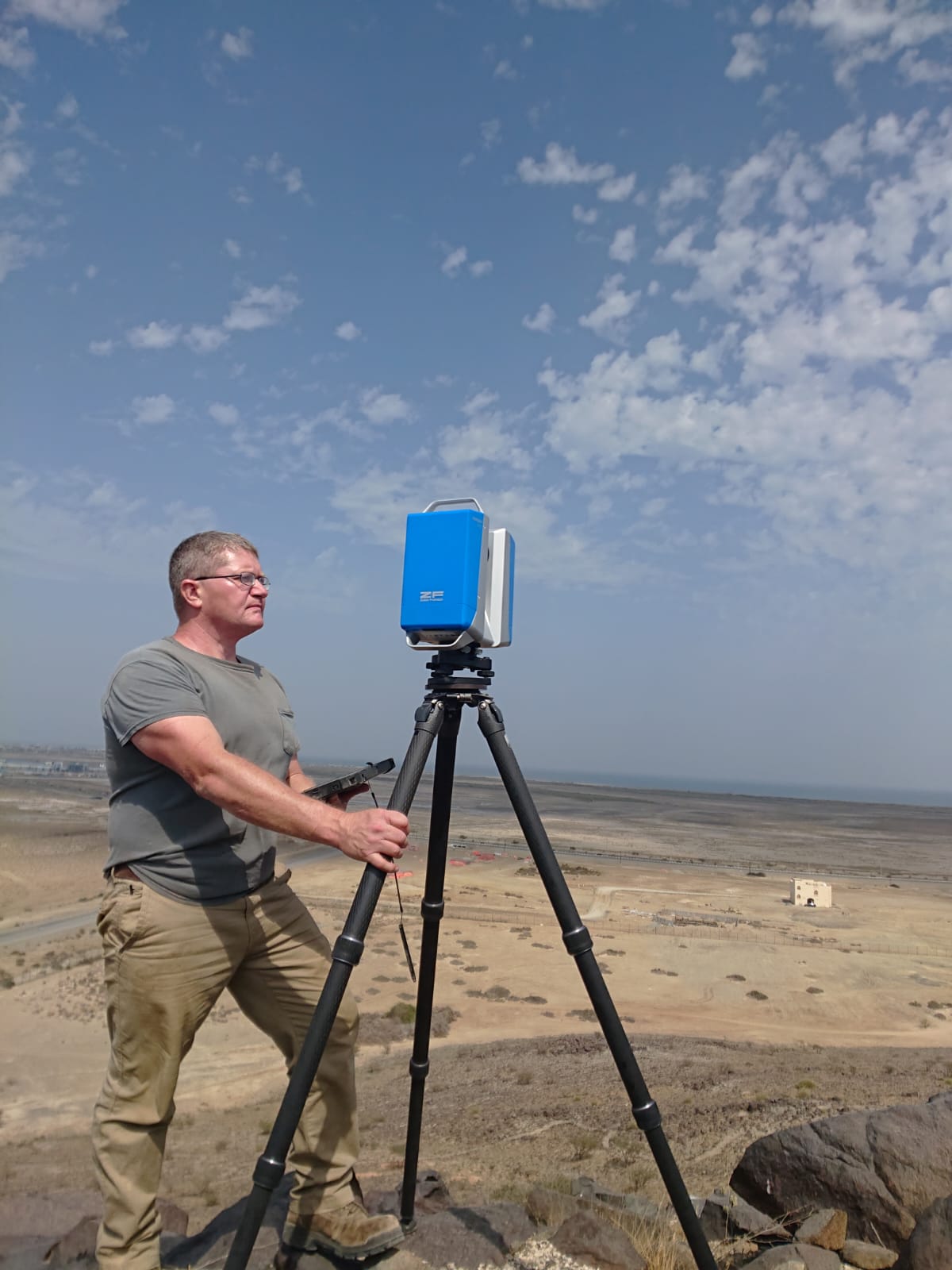
Bart Mcleod, MA
Deputy Chief Scientist
Bart Mcleod earned his MA degree in Applied Anthropology with a concentration in Cultural Resource Management from the University of South Florida (USF). His primary research interests include the application of geospatial and imaging technologies for digital heritage, with a focus on terrestrial laser scanning, GPS mapping, and Photogrammetry. For more than a decade he has worked as a project archaeologist for private archaeology firms and most recently as a GIS Analyst and Research Scientist for the University of South Florida before joining the GDH staff. Bart has led or been involved in field projects throughout the North America, Europe, the Middle East, and Central Asia. His areas of expertise include collecting and processing terrestrial laser scanner and photogrammetry data, GPS mapping for GIS applications, and project management and support. Bart is a proficient user of FARO SCENE, Reality Capture, Artec Studio, Cyclone, Bentley Pointools, Arcmap, and Geomagic. Additionally, he is a strong supporter of using open source software for digital heritage and routinely uses Cloudcompare, Meshlab, and QGIS for GDH projects.