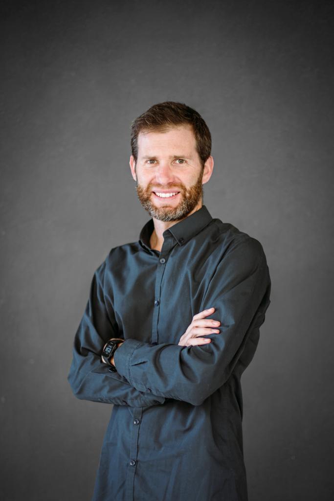
Bruce McDonald, BSc
Deputy Chief Scientist GDH Afrika
Bruce completed his studies in Geomatics at the University of Cape Town in 2006, and obtained Professional status as a Land Surveyor in South Africa a few years later. From 2007-2011 he practiced as a land surveyor in Cape Town and worked on many projects including cadastral, topographical, photogrammetric and engineering surveys.
In 2012 Bruce worked in the Canadian oil industry, surveying and establishing a new oil processing plant, and in 2013 he moved to Scotland to work on topographical and engineering surveys. In 2015, he performed dimensional control surveys in the construction of oil rigs on the east coast of Scotland. On his return to South Africa, Bruce continued his surveying practice, and began assisting the Zamani Project team in 2017, first on a part-time basis and then full time until the end of 2023.
Bruce is now involved with 3D laser scanning, aerial photography using drones, and many of the other tasks required in digital spatial documentation of architectural structures, heritage sites and historical landscapes. Bruce is now a member of Global Digital Heritage Afrika.


